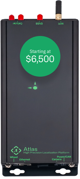
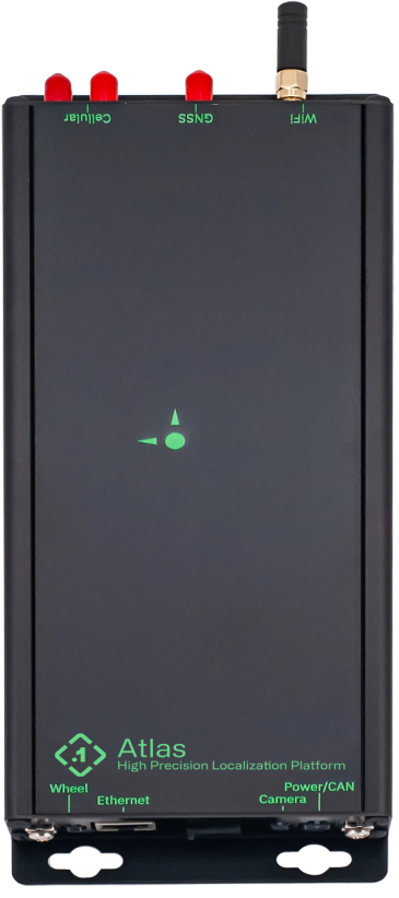
Atlas
Ground truth, in real time.
Ditch the clunky post-processing workflows and get your location data right from the source. The Atlas Inertial Navigation System (INS) combines best-in-class hardware with RTK and Sensor Fusion to deliver ground truth precision right from the box. All at a price that allows you to put them in every car/truck/robot in your fleet.


The Best-in-Class INS
As the first scalable INS with real-time, cm-accurate position in x, y, z, and attitude, Atlas is enabling new applications in autonomy, robotics, and mapping. It’s the world’s most advanced positioning hardware, engine, and RTK network in a single package.
Every car in your fleet
Atlas is priced aggressively so you can outfit every car in your fleet with an Inertial Navigation System.
Ditch the post-processing
Ditch the complicated and clunky post-processing workflows and get accurate data right from the device.
A UI that you’ll love
Atlas uses a modern web UI and is equipped with on-device and ethernet based streaming of data.
Technical Specifications
Integrated UI and REST API control interface
Multi frequency GNSS antenna with mag-mount, RF and USB Cabling
No desktop software required. Ever.
CAN and wheel encoder vehicle odometry inputs
A Complete, Pre-integrated, & Localized Solution
Free Polaris RTK
Our corrections network measures common error sources to GNSS and transmits corrections straight to the Atlas. Pre-configured Atlas devices get Polaris free for 6 months.
Atlas UI
Fusion Engine
Atlas in Action
Easy installation and self calibrating. See the Atlas in action here.
Moving Autonomy Forward
Autonomous Vehicles
Robotic Engineering
Mapping and Photogrammetry
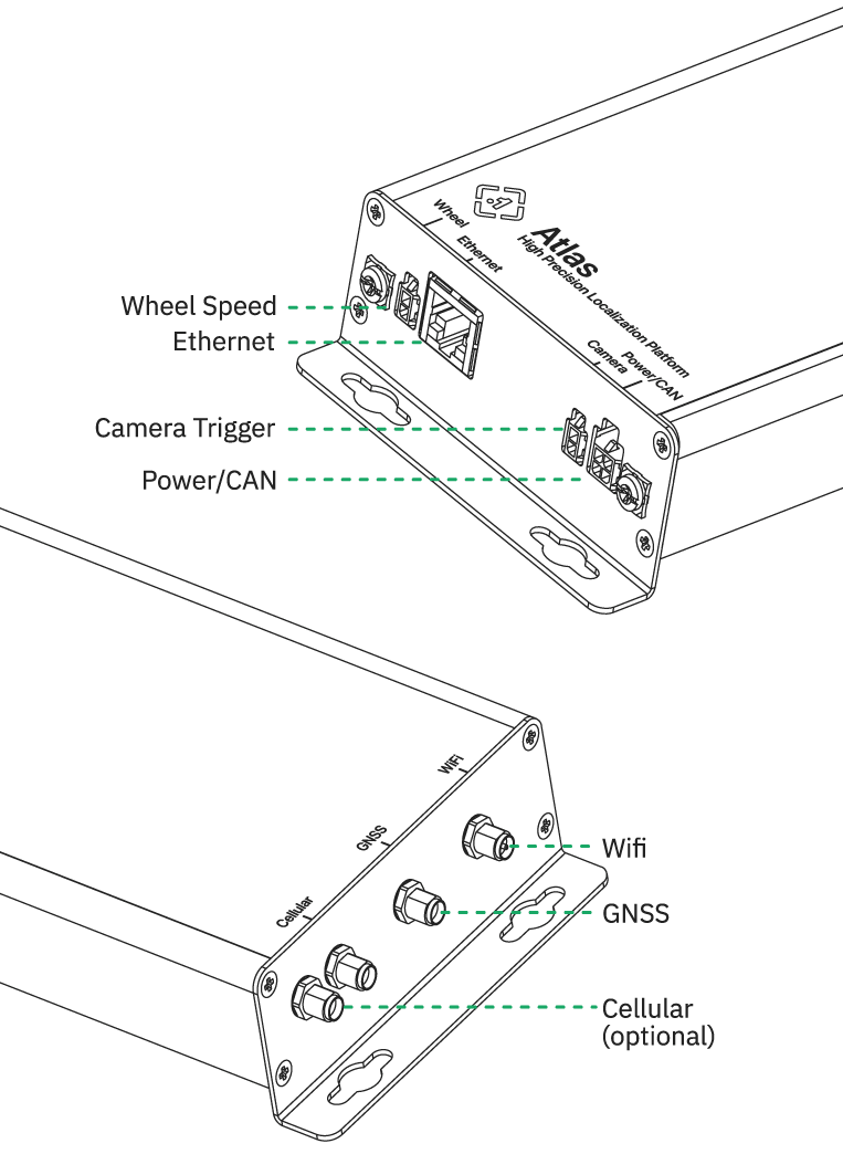
Ports
