Product
Our precision location stack makes it easy to quickly build production-grade products that operate safely and reliably in the physical world.
Precise location your customers can trust, ready today for every step of your development process
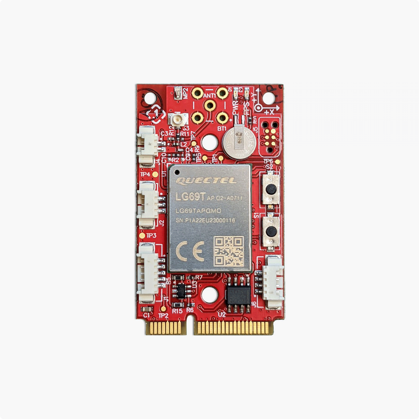
Developer kits to get you started quickly
While Point One’s software and service works with a wide variety of open standards, we also manufacture hardware designed to get you going quickly and easily. The hardware is open source and can easily be adapted to mass production applications through our Certified Chip Partner program.


Rich tools and APIs make integration simple
We’ve built intuitive tools that work on every platform so you can quickly and easily see how your system is performing. And every product we make uses the same, rich and open source API complete with reference applications in C, C++, and Python. We’ve done the boiler plate work so you can focus on your application.
- Open Source API with rich documentation
- Easy to use tools that run on Windows, MacOS, and Linux OS
- Rapidly expanding feature set with OTA updates
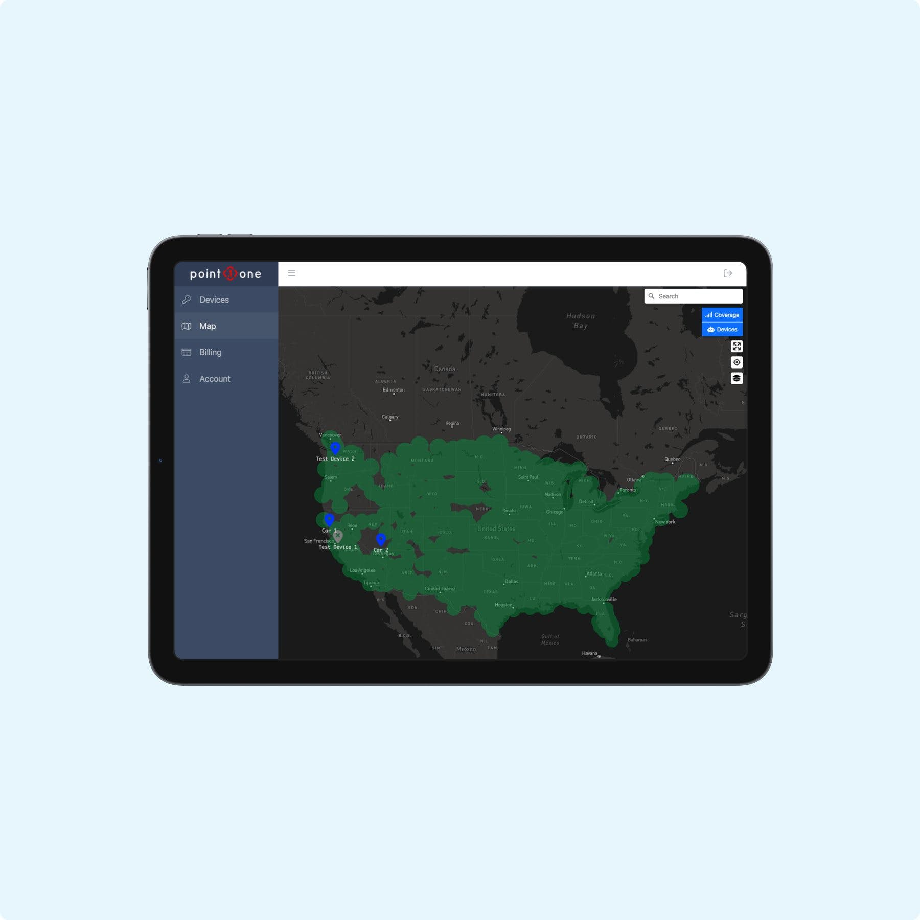
A modern dashboard manages devices easily
Point One’s powerful central dashboard gives you immediate insights into the health of your devices, the correction service, and your account. Easily create a trial account to get started and see how high precision location can work for you.
- Easy to use, self-serve interface
- Rapid view of all existing devices
- Start with a no-commitment trial account


Hardware partners and reference designs draw a clear path to production
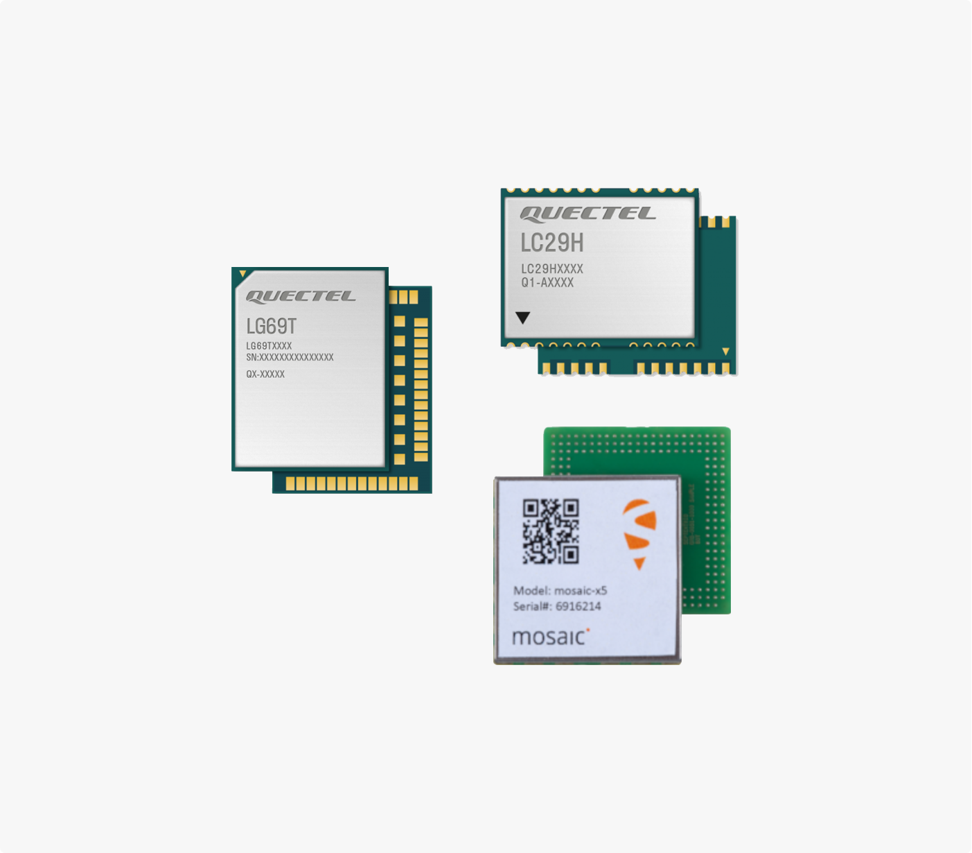
- Point One’s Certified Chipset Partners have GNSS, IMU, and MCU options for multiple markets that are tested and integrated with Point One systems, certified for scaled production, and rated for safety-critical applications.
- FusionEngine was designed from the start to run on your host system.
- Scale to safety critical systems using our FusionEngine software on your host platform. Rated for up to ASIL-B applications.
How It Works
Satellite Based Navigation
Cloud Based Corrections Data
Global accuracy is provided by our Polaris correction network, which increases satellite signal accuracy by over 100x, achieving accuracies of 5cm or better. Our correction network is built from proprietary hardware and software to provide maximum uptime, security, and efficiency.
Edge Sensor Fusion Algorithms
Our FusionEngine software resides in the host device and is adaptable to a wide array of compute platforms from low power microcontrollers to large centralized computers. FusionEngine is also available from our Certified Chipset partners in a ready-to-go package that minimizes design complexity and provides an efficient shortcut to mass production.

Why Point One Wins
Most Accurate Positioning
Reliable Position Solutions
Fast to Implement, Simple to Integrate
Built For Scale
We offer our hardware configurations as reference designs, and partnerships with module manufacturers who can deliver at production scale.
Our network and services are built on modern, secure, and smoothly scalable infrastructure.
Frequently asked questions
How is Point One different from standard GNSS?
Point One builds high precision GNSS solutions. Standard GNSS accuracy ranges from 1m to 10m and can be worse based on the operating environment. Point One’s high precision GNSS delivers accuracy from 10cm to 1cm, and does so even in challenging environments such as urban canyons and occluded sky-views.
What is Precision GNSS?
How do I get started using Point One as a developer?
What products already integrate Point One?
What is RTK?
Can I use Polaris corrections with a non-Point One system?
Yes. The Polaris network performs as an NTRIP RTK network. Non-Point One systems can access the Polaris network using standard NTRIP protocol. Access credentials and documentation are available at app.pointonenav.com.