RTK for Drones
The easiest way to access RTK corrections anywhere in the world — no base station required
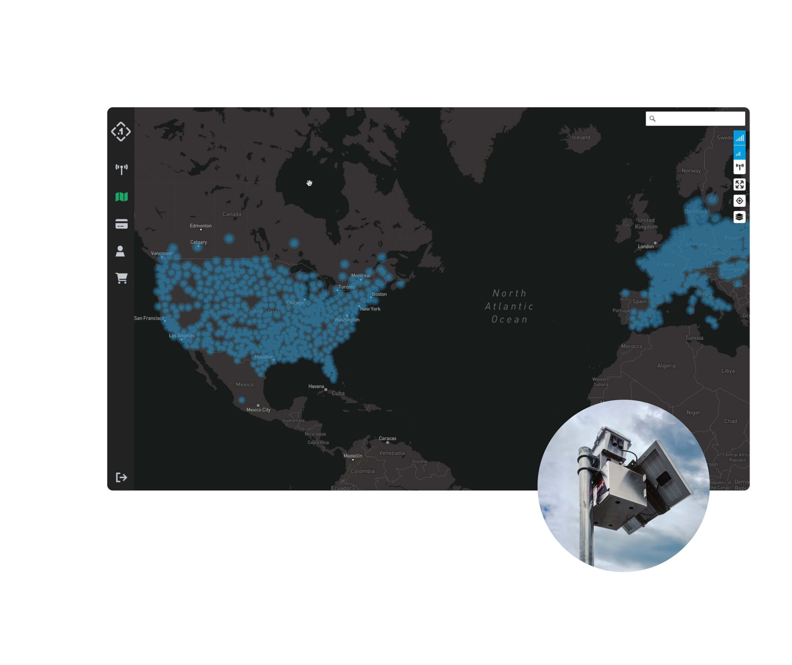
Point One built the Polaris network from the ground up — it manages over 1440+ base stations across the U.S., Canada, Europe, Australia and more. It’s deploying additional base stations each month to meet customer demand. Works with any RTK compatible receiver (RTCM v3).

The benefits of instant access to RTK corrections for drones
Save money on RTK base station hardware
99.99% uptime
Instant activation
RTK corrections subscription
service for drones
The Polaris network observes the components of error present in existing satellite signals (atmospheric delay due to ionospheric and tropospheric disturbances, satellite clock errors, and satellite orbit errors) and precisely calculates a corrections data for your application.
Point One owns and manages 1400+ base stations around the world
- Highest overall density of U.S. corrections networks
- Extra redundancy in urban centers (top 50 cities in the US all have over 4 stations)
- Tracks four major constellations: GPS, GLONASS, Galileo, BeiDou
- Uses the WGS84 (G1150 Initial Epoch) coordinate reference system
- Easy-to-expand network, driven by customer demand
- Even in areas without cellular coverage, Polaris provides high accuracy GNSS corrections with delivery over satellite
- 99.99% uptime
Where is your drone flying?
FAQs
How is Point One different from standard GNSS?
Point One builds high precision GNSS solutions. Standard GNSS accuracy ranges from 1m to 10m and can be worse based on the operating environment. Point One’s high precision GNSS delivers accuracy from 10cm to 1cm, and does so even in challenging environments such as urban canyons and occluded sky-views
What is Precision GNSS?
How do I get started using Point One as a developer?
What products already integrate Point One?
What is RTK?
Can I use Polaris corrections with a non-Point One system?
Yes. The Polaris network performs as an RTK network. Non-Point One systems can access the Polaris network using standard NTRIP protocol. Access credentials and documentation are available at app.pointonenav.com.